


Complete and sustainable solutions in transport engineering and geomatics consulting, with more than 40 years of experience and more than 1,200 contracts.
+1.200
Contracts Made
+500.000
km² of Cartographic Bases
15.000
km of Road Projects

+150
Works/Enterprises Managed/ Supervised
In activity since 1980, Engefoto is acknowledged as one of the leading Brazilian companies in the geomatics and infrastructure consulting markets.
At Engefoto, the investment in innovation and qualification is constant, and one of its fundamental pillars is the strong investment and the search for differentiated technological solutions. In this context, many of the software, hardware, and integrated systems used by the company have been designed in-house, by our technology development department.
Our technical staff is composed of experienced and widely trained professionals in civil engineering, cartography, geology, geography, geomatics, photogrammetry, systems analysis, and complementary areas, who, in an integrated way, work to ensure that the generated products meet the quality requirements of the company.
Having concluded more than 1,200 contracts, Engefoto provides services to both public and private clients throughout the national territory, as well as in several Latin American countries, such as Bolivia, Paraguay, Colombia, Dominican Republic, and Guatemala.


“Developing engineering solutions in a cost-effective way, generating reliable products and contributing to sustainable development.”
“Being the reference company in its market, by the acknowledgment of the reliability of the provided services, management, and adopted postures”
“Comply with the needs of customers, providing Transport Engineering and Geomatics Engineering Consulting services, complying with the applicable requirements, using up-to-date technology and qualified technical staff, maintaining the continuous improvement of the Quality Management System in a profitable way.”

Being one of the country’s leading companies in geomatics and transportation engineering consulting demands constant commitment and evolution. And this is precisely one of the most remarkable characteristics of Engefoto: continuous investments in infrastructure and cutting-edge technology, to ensure – and further elevate – the excellence of its deliveries.
Installed in Curitiba (PR), the company’s headquarters has a large space: almost 2,000 m² of built area. In addition, it has several temporary offices, spread throughout the four corners of the country, in order to provide local support to the management of works.
Investing in internal development for various solutions demanded by its clients, seeking to optimize production lines with solutions for flight plans, aerotriangulation, stereophotogrammetric restitution, generation of orthophotos, and geographic information systems is also a trademark of Engefoto.
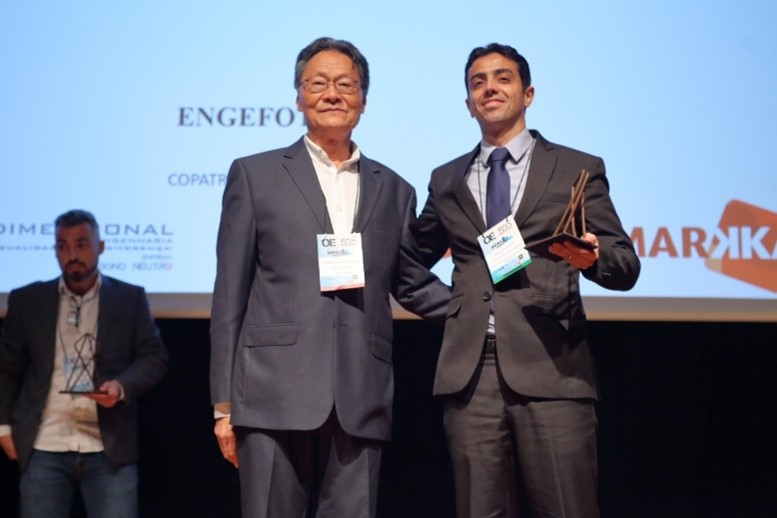
In 2022, Engefoto was acknowledged with the award of “Highlight of the year of 2021” (Destaque do ano de 2021) by the traditional magazine O Empreiteiro. In addition to the award, the company was in the 2nd place in the ranking of the largest companies in the South of Brazil, in the category Designers and Managers.