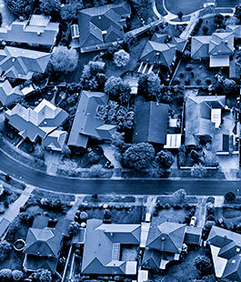


The Mobile Mapping System allows the capture of terrain information quickly, accurately, and at low cost.
The georeferenced 360º mobile terrestrial imaging corresponds to the 360º photographic record and generation of georeferenced images, in a defined projection system, which allows its connection to a determined place in the terrain.
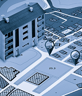
Photographs are records on which it is possible to determine characteristics of identifiable elements in the image, and their location on the ground makes it possible to associate these characteristics with other data records related to the same area of the terrain.
At Engefoto, the mobile mapping is carried out through the internally developed system, LandRunner, which provides a rich collection of georeferenced images along highways, the façades of the municipality’s real estate units, and all urban infrastructure.
LandRunner is equipped with a digital camera system and other optional sensors, integrated with an Inertial Navigation System (INS) and a centimeter-accurate odometer (DMI).
Pioneer in the development of a solution in the country, Engefoto is now preparing to launch a new product with an impactful improvement in the resolution of 360° images, that is, changing the current 30 MPixel to 72 MPixel.
The system will consist of:
With important applications in urban cadastral surveys, whether for tax purposes, or urban infrastructure (drainage signage, afforestation, placement of poles, etc.), it is possible to say that the use of this technology, by reducing face-to-face collection activities, helped enable the execution of registrations for several Brazilian municipalities.
Engefoto is also remarkable regarding strong applications for road registrations, with elements of the domain range (drainage, horizontal and vertical signaling, fences), also assisting in the registrations of occupations and characterizations of environmental liabilities.

The development of the image visualization system called LandView, for desktop (LandViewAddIn-ESRI), and an API for use in the web environment (LandViewAPI-JavaScript, uses WebGL technology).
Engefoto has also developed some products (plugins and addins) that use the API and that allow the visualization of panoramic images in QGIS software, Autodesk AutoCAD, ESRI ArcMap, and also a widget in the ESRI ArcGIS Enterprise platform.
With LandView, the operator can view the position of the photographs associated with the trajectories, on the available cartographic base, in a specific window, and, in a secondary window, the system presents the photographs taken in the field in a scenario that allows the rotation of the viewing environment in 360º.

Managing, supervising and overseeing of works, public concessions and enterprises.